A Clearer Picture of Things
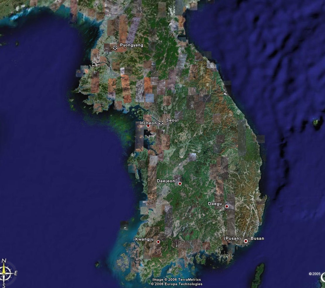
If you have visited this blog before, you may have noticed I sometimes use Google Earth to display the rides I take around Andong on my bicycle. It is a really useful and neat tool. Recently, Google released a lot of new, high resolution data to go with Google Earth and Google Maps. A lot of cities in the USA received new data, but many other places did too. Korea is one of those places.
(If you click the Google Maps links in this post, be sure to select the 'Satellite' box in the upper right.)
(If you click the Google Maps links in this post, be sure to select the 'Satellite' box in the upper right.)
 The data is a bit spotty, most of those brown (or non-green) squares are recent data. But having even that incomplete data can mean a world of difference in what you are able to see. Take a look at this ...
 On the left is the old, low resolution data, and on the right is the newer, higher resolution image. Quite a difference, don't you think? Google Earth link. Google Maps link. By the way, I believe that facility pictured there in the high resolution image is a driving testing center. Sorry, I don't know the city name.
This new data is pretty mixed. Some of the image data was taken in one season, and other data taken in a different season. This can lead to some wild images.
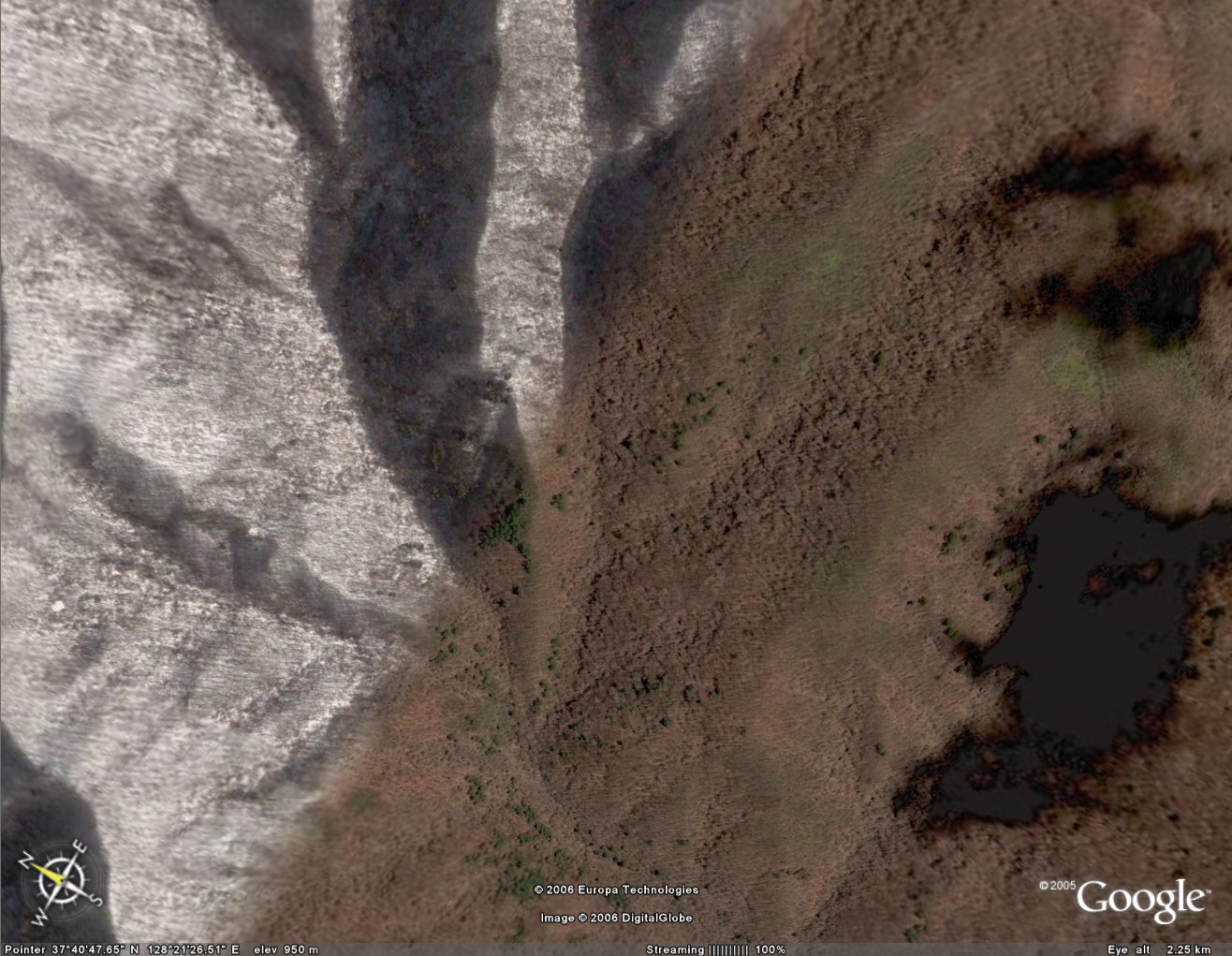 Here you can see winter in the mountains the same time as fall (I believe) and right next to each other. Google Earth link. Google Maps link. That black splotch on the right is the shadow of a cloud (another problem with some of the data) just out of the picture.
Not only is this new data interesting, it can also be useful. I have posted about Hahoe village here in this blog before. It is a popular tourist attraction near Andong displaying the country's cultural heritage mostly in the form of old style houses. Here is what it looks like from above.
 You can see the shape of the village as the river wraps around it. If you zoom out, you can see the river and the cliffs on the left. Google Earth link. Google Maps link. If you use Google Earth, you can zoom in and tilt the images to see things in 3-D. Note though, the actual altitude data is not as high resolution as the image data -- meaning you won't see most small mountains.
And, exploring all this new data is just plain fun. You can see some really cool things ...
 This is not far from Andong. I think this plane, and its shadow, are on its way to the Yechon airport which is about 25 km. in the direction this plane is headed. Google Earth link. Google Maps link.
You should really try Google Earth, or at least Google Maps and explore some of this wonderful world we live in. Have fun!
Labels: Google Earth
posted by Alimamo @ 11:49 PM
1 comments
![]()
![]()